
Just a note from the FIRM Foundation about the work moving forward by the Heartland Research Group. Some of you may receive this information from Wayne May, Dr. John Lefgren, and Dr. Kevin Price, and their Heartland Research Group. This is research being done to discover physical evidence of the City or Land of Zarahemla spoken of in the Book of Mormon and also clearly spoken about in D&C 125:3, as being across the river from Nauvoo, Illinois. There are many working on this project and if you visit the site zarahemla.site, you can read more information and donate to their cause.
Nov. 6th 2021, a historic flyover near Nauvoo, Illinois of 34,000 acres has been completed, obtaining Lidar Data to continue searching for more evidence about the Montrose, IA, or the Zarahemla area. In the Nauvoo Heartland Research is finding ancient fire pits and artifacts, doing core hole drilling, magnetometry, lidar, archaeological digging, drone exploring, and many other new world scientific studies from experts all over the world. You will be fascinated with their work below. They would love to have guests, visitors, speakers, and other experts that may want to help. Email John or Wayne at the information on their website.
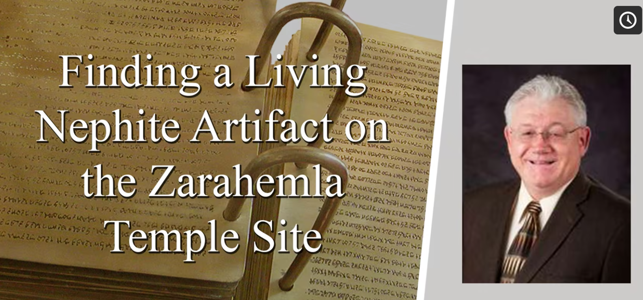
Heartland Research is also continuing study of the Michigan plates that Wayne May has been researching over 30 years, and continuing to research information about the Spotted Bee Balm plant growing in the Montrose, Iowa area.

NEW? Sign up for Streaming Click Here
View Kevin Price’s and Wayne May’s Newest Videos from Sept 2021 Below

Streaming Subscribers Kevin Price Video Here
Streaming Subscribers Wayne May Video Here
News from Oct 30, 2021 |

|

Flightpath for $3.5 million of assets in the air over Zarahemla.Today Air Data Solutions has scheduled the flightpath to put $3.5 million of LiDAR scanning assets over Zarahemla. The above photo identifies 34,000 acres for scanning with the world’s best LiDAR technologies the discovery of Zarahemla. The ultra-high-resolution scans offer new opportunities for finding the reality of ancient habitation and civic life on the banks of the Upper Mississippi. Soon we will have previously unattainable details and depth of analysis. The truth will come out of the ground as we layer scans from magnetometry and resistivity on digital maps. We will use the maps to locate exact spots to take soil cores containing charcoal from ancient fire pits for the laboratory to determine the Carbon-14 dates of Zarahemla. |
News Nov 5, 2021Today’s Email from Kevin Price Concerning LiDAR Scans“Many of us have watched in wonder as amazing images of ancient civilizations hidden beneath the jungle forest canopy appear before our eyes. Light Detection and Ranging (LiDAR) remote sensing technologies are allowing scientists to “peel back” forest canopies that have hidden wonders of the world for thousands of years. Today, the Heartland Research Group (HRG) is excited to announce that ULTRA HIGH-RESOLUTION LiDAR imagery will soon be flown over 34,000 acres of the Land of Zarahemla. The flight plan can be seen in the accompanying image. Years and thousands of hours of work on the ground have revealed remnants of an ancient people who once occupied the land of interest. We believe the great City of Zarahemla was once in this area. Members of the HRG have used existing LiDAR imagery to look for patterns on the ground that are indicative of these ancient people. A common name used to describe these people is Adena and Hopewell cultures, and modern people have been gathering their artifacts for over 100 years. Many of these artifacts are now in museums all over the world. Areas that have been less disturbed by modern farming are still hiding under the forest canopy of the area. In the past, 1.0-meter resolution LiDAR imagery has been used for discovery, but often lacks sufficient under-canopy penetration so that these hidden wonders can be identified and used in professional manners to learn more about these ancient inhabitants. The flight plan you see with this post shows where we will be soon acquiring custom flown LiDAR data over the area. For most LiDAR acquisitions, 2-to-4-point (laser beam) measurements are acquired for each meter on the ground. With so few points, these measurements are often blocked by forest canopy resulting in reduced observational detail under the canopy. The HRG is working with Air Data Solutions out of Louisiana to acquire 20 points per square meter over the entire area that will result in a 3-to-4-inch (as opposed to a 1.0 meter) resolution dataset. The vertical resolution of the data will be about 1.5 to 2 inches allowing the HRG to identify even subtle ground surface elevational differences as might be associated with features made by these ancient people. Deliverable products will be a point cloud file, digital surface model, and digital terrain model. Using these ultra-high-resolution LiDAR data, the HRG anxiously anticipates the discovery of many new and exciting archaeological features of interest.” Weather conditions have the flight on hold so it might be tomorrow before we can fly the area, but it will be flown soon.” Dr. Kevin Price |
News Nov 6, 2021
|

|


News Nov 6, 2021Tonight Dr. Yuri Manstein is flying into New York from Moscow. He and Dr. Larisa Golvoko are preparing to meet Heartland Research scientists for the November Expedition in Montrose.For the last week, Larisa has taken an active role in professional meetings in America dealing with the geophysical aspects of Russian sensing technologies. Take a look at the attached link. We are fortunate to have Russian scientists involved with our search. Yuri’s flight will soon land in New York. He and Larisa will join us for the week of November 15th in Montrose. The Russians have clear ideas on how they can help us in our discovery of Zarahemla. Larisa said that she intends to make 3-D images that will show the man-made foundation for the Zarahemla Temple. I told her that we would have one public event in Montrose from 10 am to noon on Wednesday, November 17th. Otherwise, we want them to concentrate on our top priority — the location and delineation of the sand foundation for the Temple. Click the link below to get more information about the Russian technologies that Larisa presented two days ago at a professional conference. |
News Nov 6, 2021
|

|


